timday.com
- Contents
 Home
Home- Articles
- Visualisations
- Share
- Evolvotron
- Fracplanet
- Java
- Voluminium
- fbreportz
- Sudoku
- Galaxies
- Catalog
- Milky Way
- Nebulae
- WIP


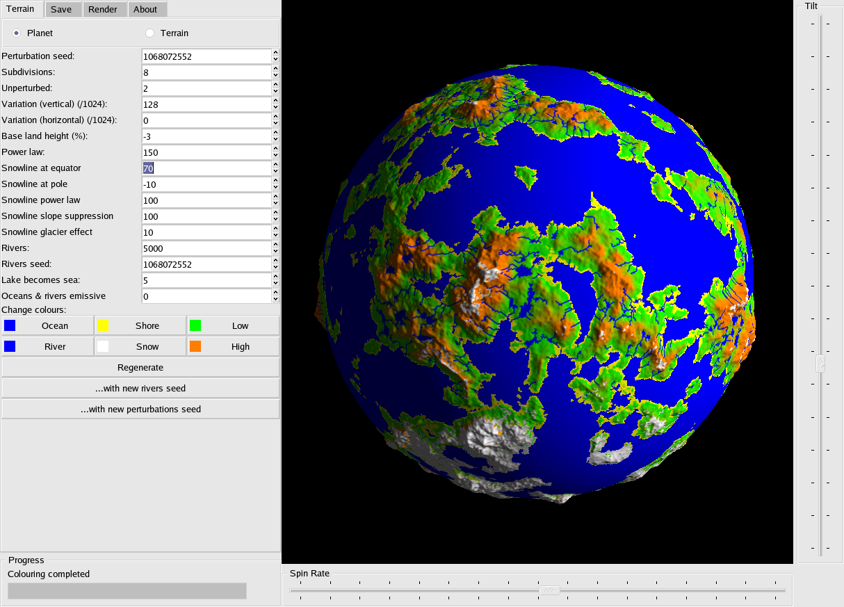
Fracplanet gallery
Screenshots and other images produced with fracplanet.
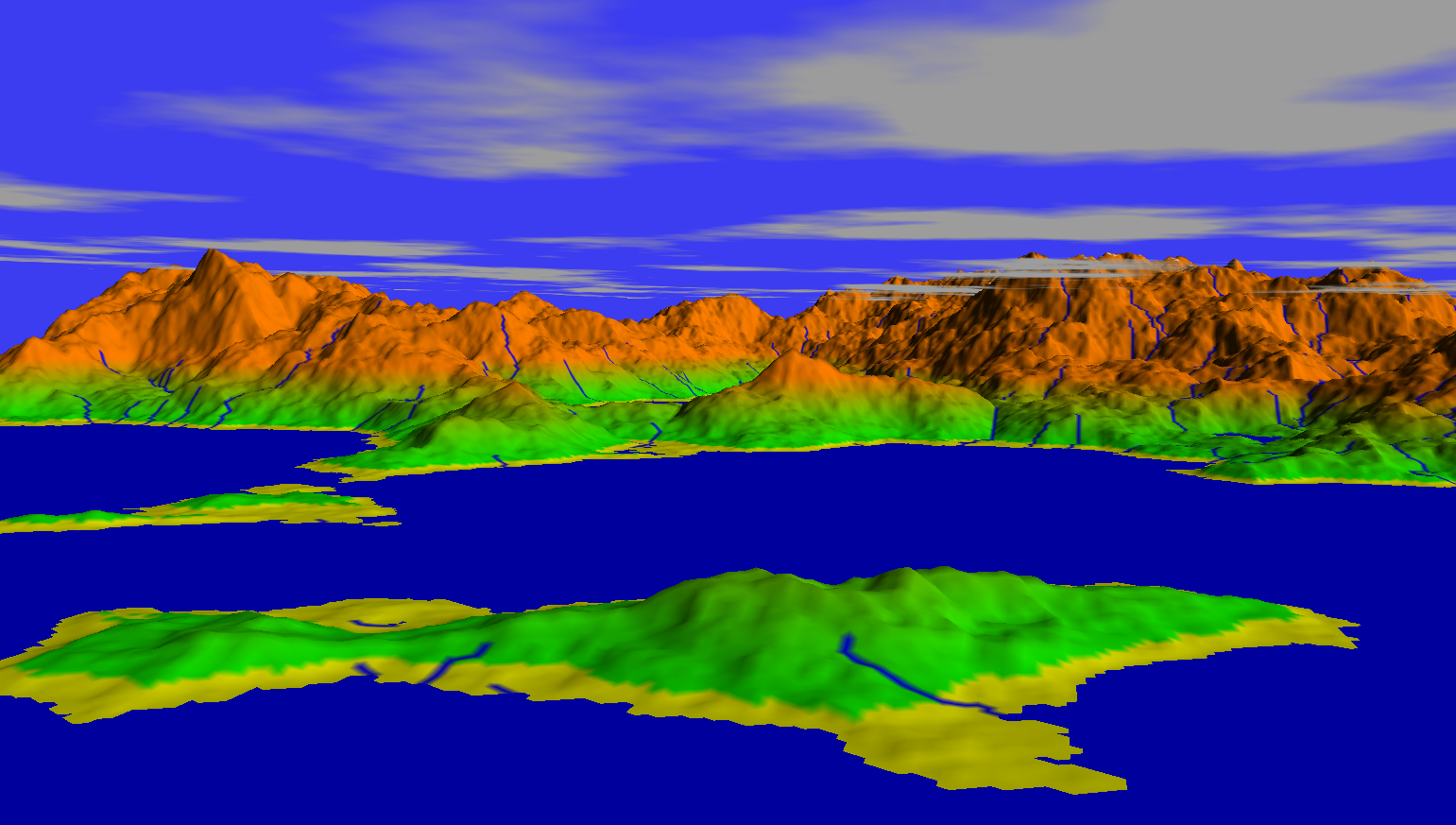
Rendering
A capture from Fracplanet's own OpenGL rendering while in "flight mode" having flown down to low altitude.
Some terrain exported to, and rendered by, POV-Ray (with atmospheric effects enabled):

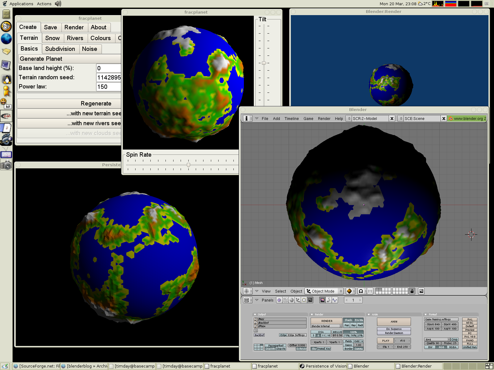
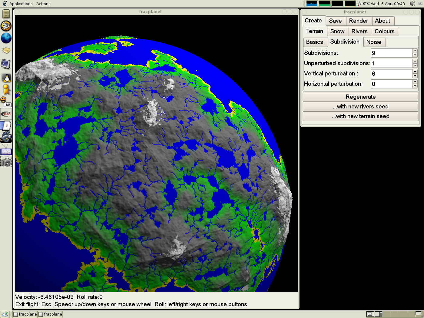
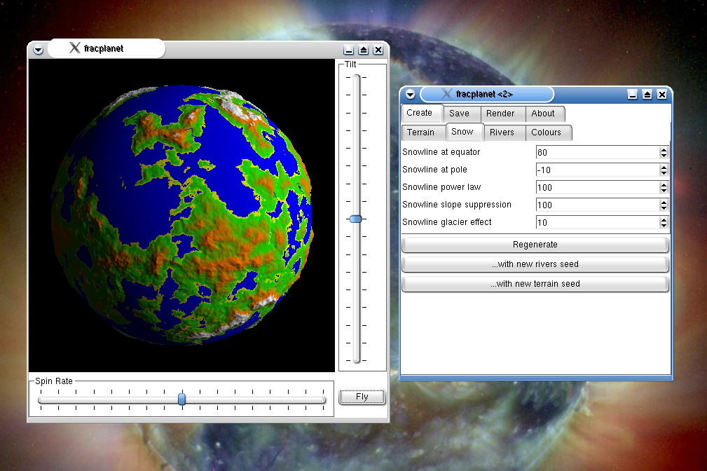
Screenshots
Fracplanet 0.3.0 with terrain exported to POV-Ray and Blender.
Fracplanet in flight mode
Fracplanet under KDE:
- Screenshot contributed by Leon Brooks
Fracplanet in action pre-version 0.1.0, when the GUI was revised:
Fracplanet also supports emissive oceans, lakes and rivers:

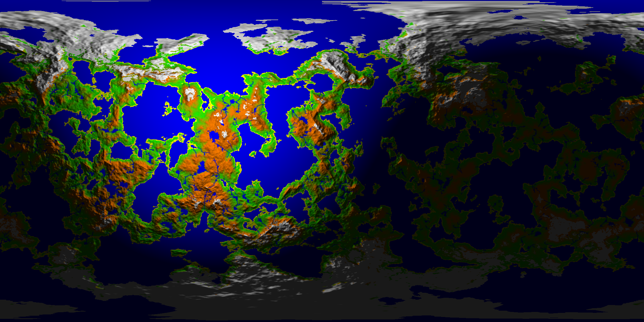
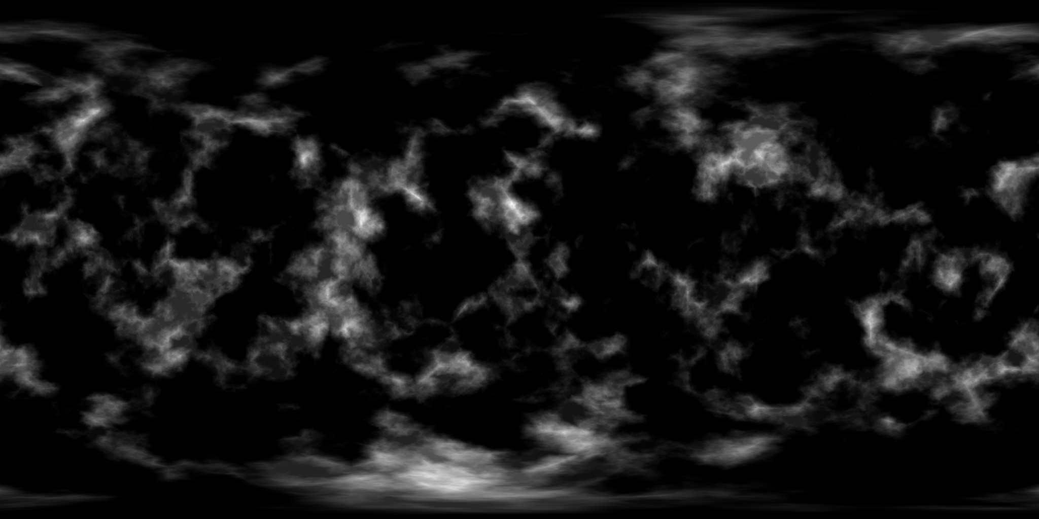
Texture exports
From version 0.3.1 there is the option to simply save the terrain as a 2D image rather than using the more complex POV-Ray or Blender model formats. This is most likely useful for texture mapping the images onto objects in other renderers. You can choose to have fracplanet do the shading, or use the normal maps or height maps to do defer it to a bump or displacement mapping system in your chosen renderer.
A planet, saved as a shaded texture (a spheremap):
The same planet, saved as an unshaded texture:

The normal map for the planet:

The height map (also known as a "DEM" or "digital elevation model") for the planet:
This is a
hosted project.


